
Gifts by Category
Tick off everyone on your list!
1027 results
Sort by

Shop Gifts by Category
Skip to content below carousel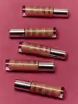
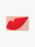
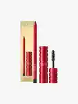
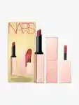
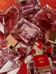
Makeup
Colour and sparkle.

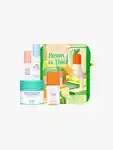
Skincare
Happy faces, guaranteed.
Fragrance
Scents to celebrate.
Body
Unbelievable body care.

Hair
The gift of a good hair day.

Shop Gifts by Price
Skip to content below carousel
Under $25
Little wonders with big impact!

Under $50
Beautiful finds of all kinds.
Under $100
Share the love with fan favourites!

Under $150
Spoil them with something extra special.
Luxurious
For when only the best will do!
Shop Gifts by Category
Skip to content below carouselMakeup
Colour and sparkle.
Skincare
Happy faces, guaranteed.
Fragrance
Scents to celebrate.
Body
Unbelievable body care.
Hair
The gift of a good hair day.
Shop Gifts by Price
Skip to content below carouselUnder $25
Little wonders with big impact!
Under $50
Beautiful finds of all kinds.
Under $100
Share the love with fan favourites!
Under $150
Spoil them with something extra special.
Luxurious
For when only the best will do!