
Devices
Beauty is pleasure.
18 results
18 results
Sort by

Showing 18 of 18
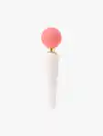
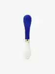
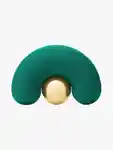
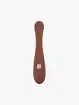
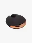
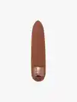
Sexual Wellness Devices
Take pleasure into your own hands with a curated collection of sexual wellness devices from the world’s most luxurious brands, including Coco De Mer and Kiki De Montparnasse. Experience the beauty of self-love and self-discovery.